
Al-Idrisi

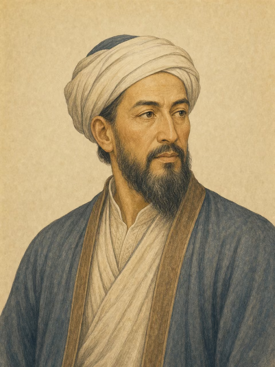
Portrait: AI-generated imagined likeness

Al-Idrisi

Explorer · historian · Writer

Years
1110–c. 1165
Birthplace
Morocco
Birth polity
Almoravid dynasty
Era
Medieval
Field
Exploration
Occupations
Explorer · historian · Writer

A 12th century Islamic geographer who created world maps and geographical books at the Norman court in Sicily. It symbolizes the exchange of knowledge between the Mediterranean and the Islamic world. He is an important figure in medieval geography.

View in catalog

Historical context

Places

  • Ceuta

    Birth

  • Palermo

    Work

Works & achievements

  • Nuzhat al-mushtaq

    1154

    Book

Events

  • Scholarly exchange in Norman Sicily

    Cultural event · Participant

Origins

Origins map
Birth countryAssociated countries
Birth country
Morocco
Associated countries
Spain · Italy

Map: Natural Earth (PD)

Biography

Early life

Born in Ceuta, he grew up in the academic traditions of Andalus and North Africa. The environment of movement and exchange across the Mediterranean supported his geographical knowledge and observations.

Achievements

At the court of King Roger II of Sicily, he created the Book of Roger and the world map. It organized information on travelers, classical geography, and knowledge of the Islamic world, and illustrated the world perception of the time through iconography and text.

Character & anecdotes

The Idrisi map is sometimes drawn in a different orientation than the modern Kitakami map. We can see that the orientation and center of a map are not determined naturally, but change depending on culture and usage.

Historical Impact

Studying Idrisi reveals that knowledge in the Middle Ages was not completely divided between religious circles, but was shared and translated at intersections like Sicily. You can also understand geographical imagination and information gathering methods before the Age of Exploration.