Opening of Atlantic Routes to the Americas
1492–1502
From 1492 to 1502, voyages associated with Columbus, Cabot, Vespucci, and Cabral established repeatable crossings and geographic knowledge linking Europe with the Caribbean, North Atlantic, and South American coasts. The lands reached were already home to diverse Indigenous societies, including the Taíno.

- Period
- 1492–1502
- Kind
- Voyage
- Regions
- Europe, North America, Latin America
- Keywords
- Atlantic crossings · route formation · Taíno · chartmaking · Indigenous societies
Follow the story · Four stages
Background
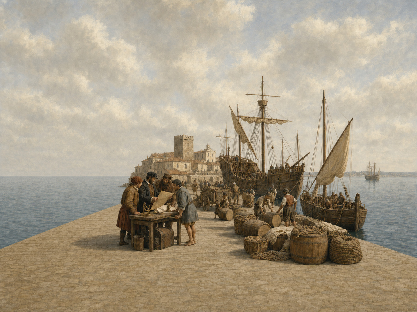
During the fifteenth century, Iberian states accumulated navigational practice, knowledge of Atlantic winds, and royal expedition support around Atlantic islands and the African coast. Competition for maritime access to Asian trade encouraged both westward sailing and continued use of the route around Africa.
- Fifteenth-century Iberian knowledge of Atlantic winds and navigation
- Royal backing and rivalry for maritime access to Asian trade
- Indigenous societies already living throughout the Caribbean and the Americas
Course
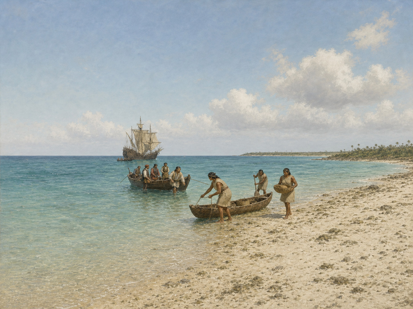
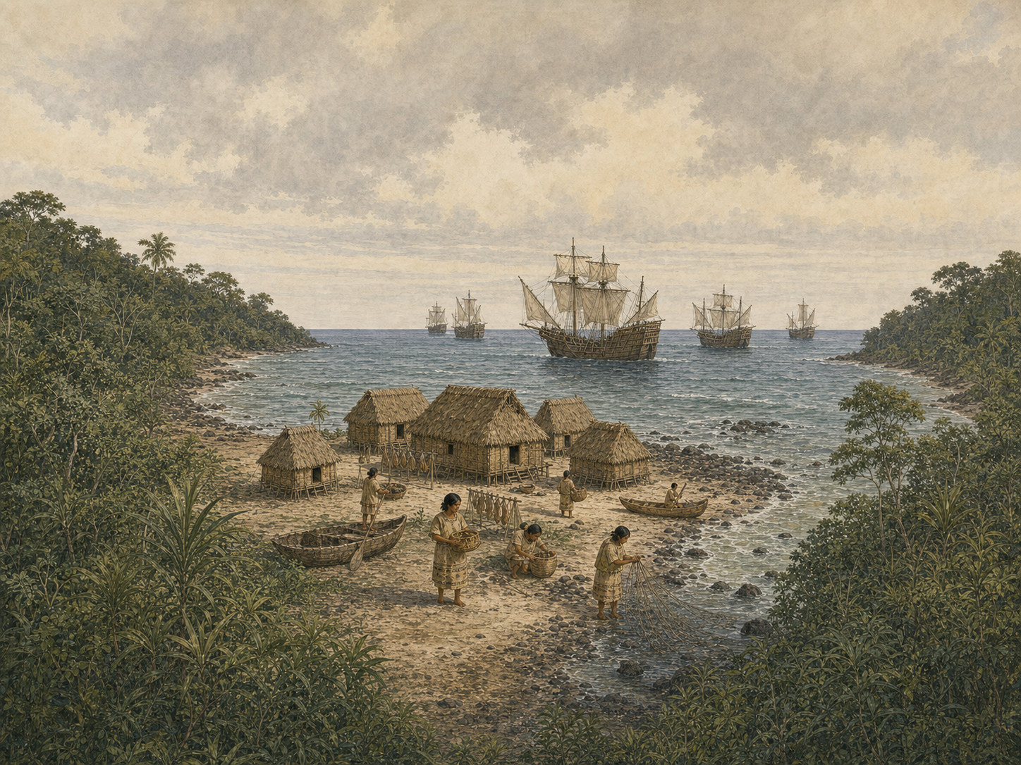
In 1492, Columbus's fleet left Palos, reached Guanahani, and encountered Taíno people. Repeat voyages followed; Cabot crossed the North Atlantic from Bristol in 1497, Vespucci participated in South American coastal voyages between 1499 and 1502, and Cabral's India-bound fleet turned southwest and reached the coast of present-day Brazil in 1500.
- The 1492 landfall at Guanahani and encounter with Taíno people
- Cabot's 1497 North Atlantic crossing to an uncertain landfall
- Vespucci's South American voyages and Cabral's 1500 arrival on the Brazilian coast
Outcome
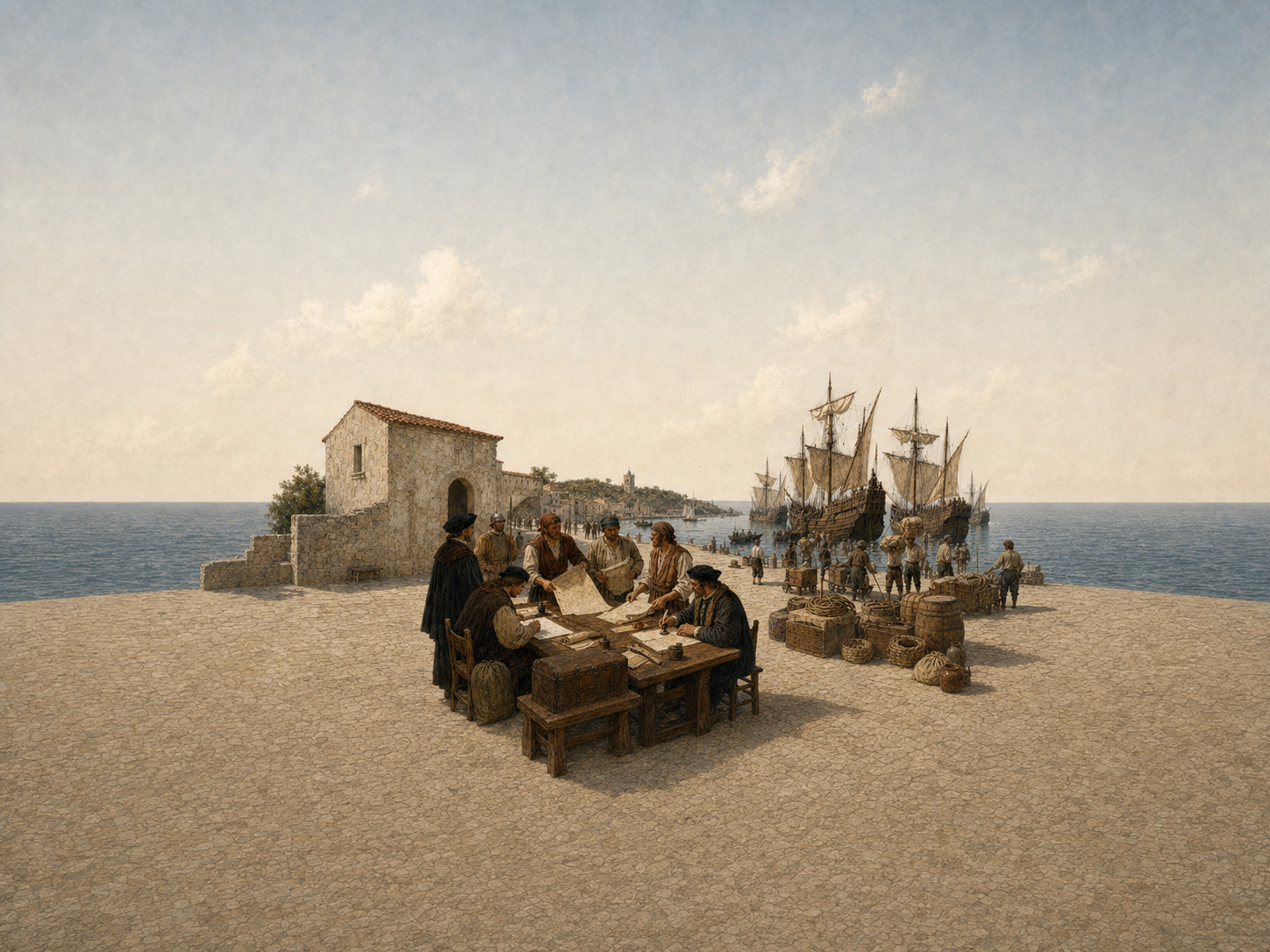
Return reports, royal patents and claims, chart making, and follow-up expeditions transformed individual crossings into continuing Atlantic routes. European geographical understanding changed, while the same routes enabled external royal claims over Indigenous lands and prepared channels later used for conquest and colonization.
- Return reports and charts carried geographic knowledge into later voyages
- Patents, royal claims, and follow-up fleets created repeatable routes
- External assertions of sovereignty over Indigenous lands took shape
Historical significance
These routes made sustained movement of people, goods, and information across the Atlantic possible and reshaped global connections. Their history cannot be reduced to navigational achievement: it must also account for encounters with Indigenous societies, unilateral sovereignty claims, and the asymmetries that led toward disease, violence, and colonization.
- Sustained movement of people, goods, and information across the Atlantic
- A reordering of European geography and connections between world regions
- Asymmetric relations that led toward disease, violence, conquest, and colonization


Related figures
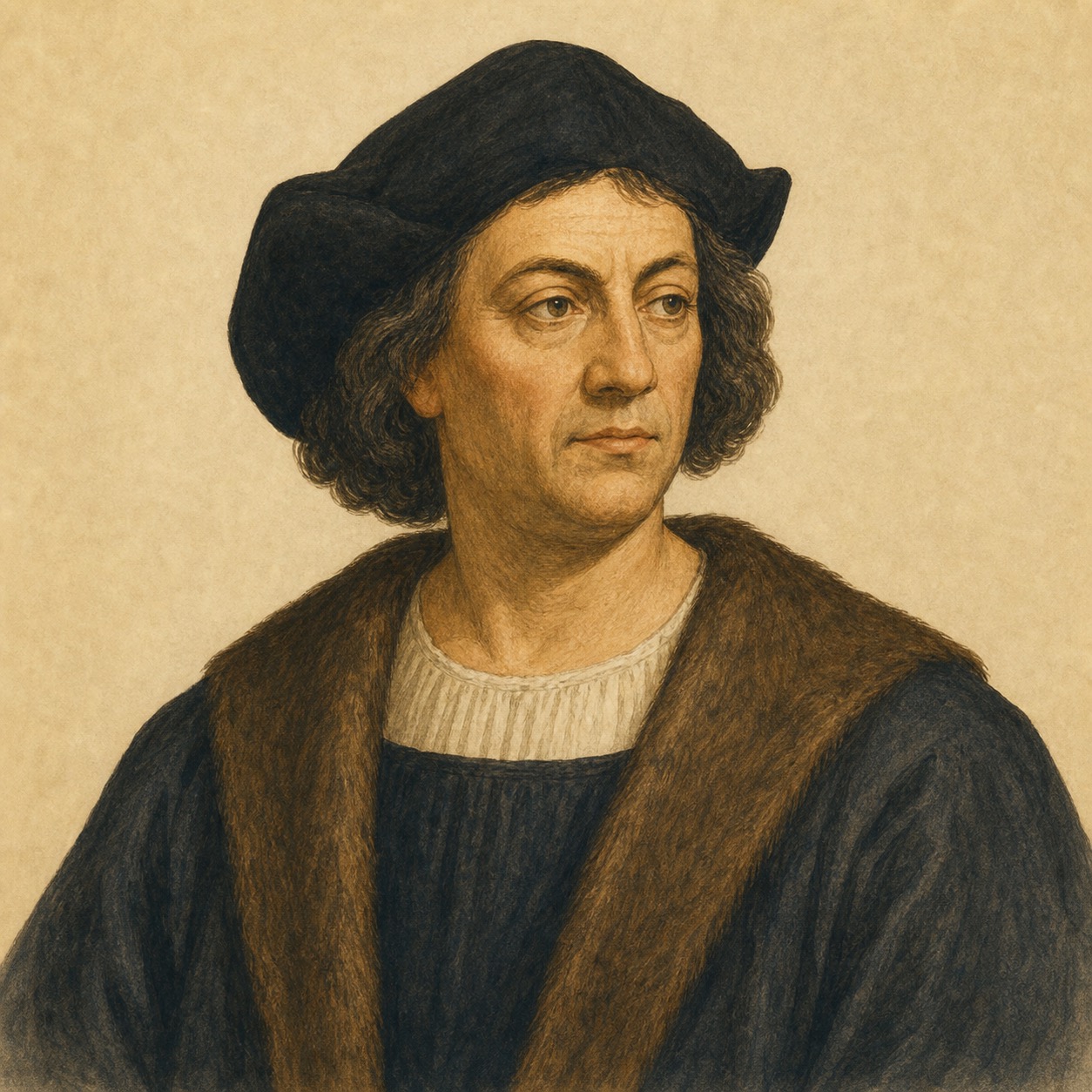
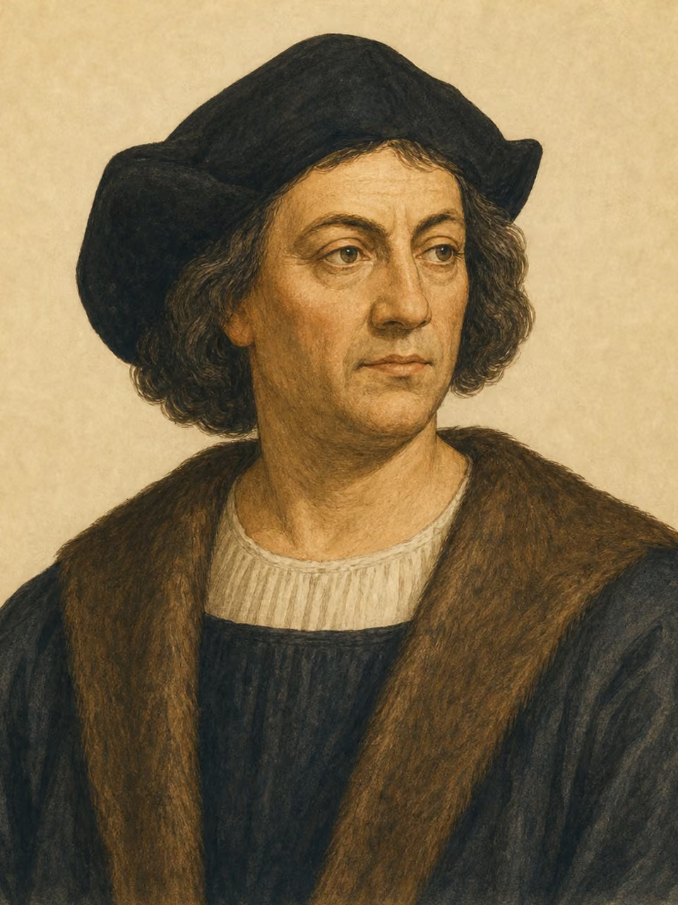
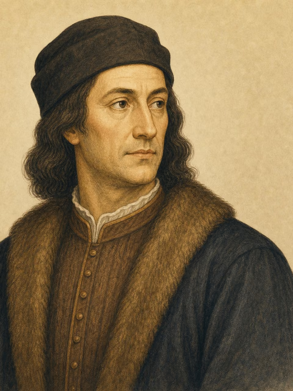
Christopher Columbus
Commander of the 1492 crossing
He led the fleet from Palos to Guanahani, encountered Taíno people, and made further Atlantic voyages.
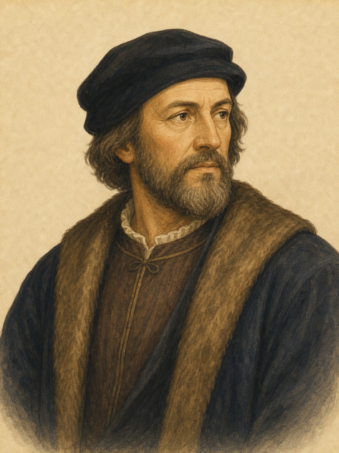
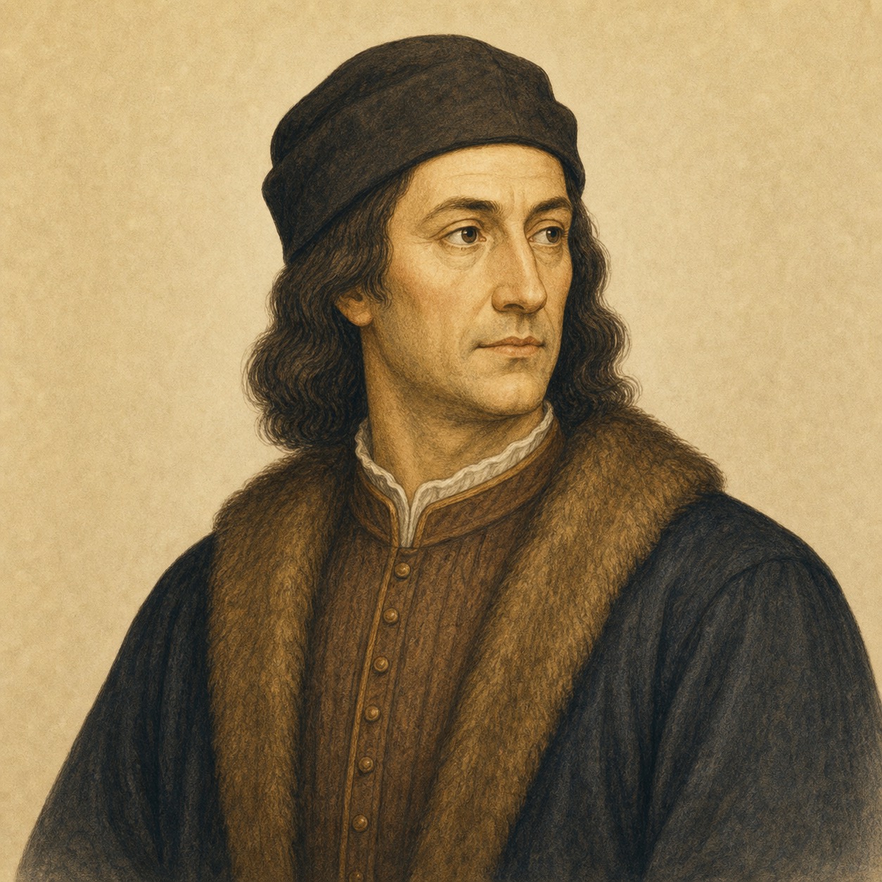
John Cabot
Commander of a North Atlantic voyage
Acting under Henry VII's patent, he crossed from Bristol in 1497; the exact site of his landfall remains uncertain.
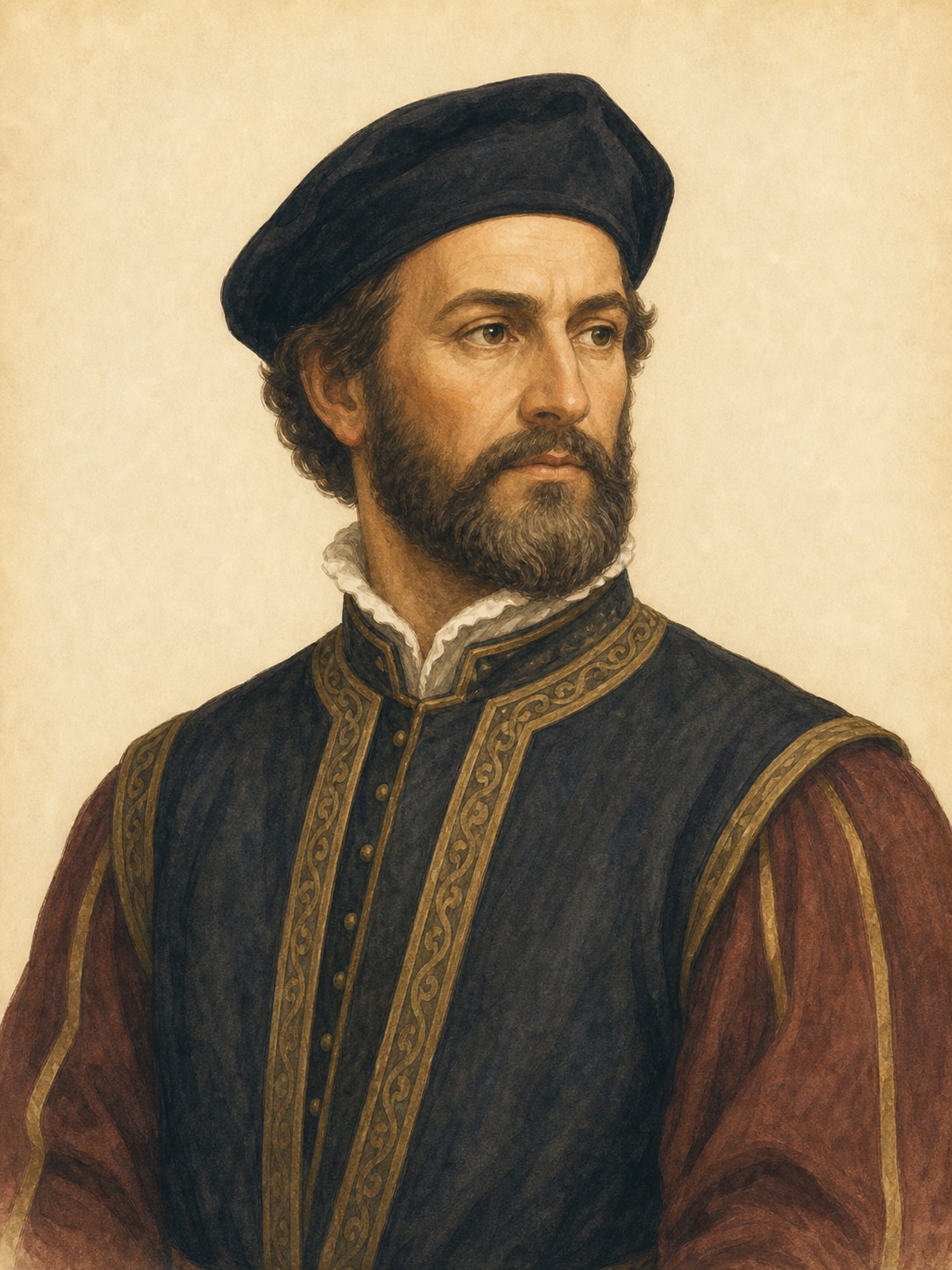
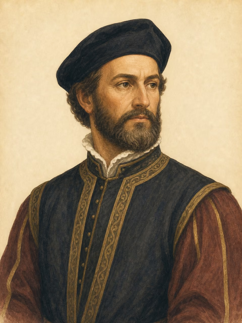
Amerigo Vespucci
Participant in South American voyages
He joined voyages along the South American coast from 1499 to 1502 whose reports influenced European geography and mapmaking.
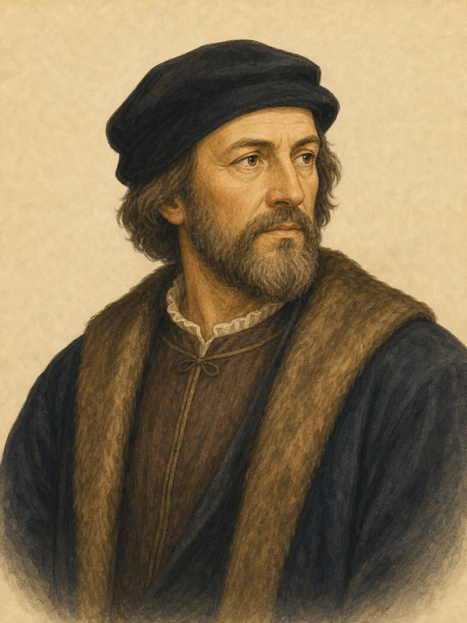
Pedro Alvares Cabral
Commander of the 1500 fleet
He led an India-bound fleet that reached the coast of present-day Brazil, where Indigenous societies already lived.
Related events
c. 1491
Iberian navigation before 1492
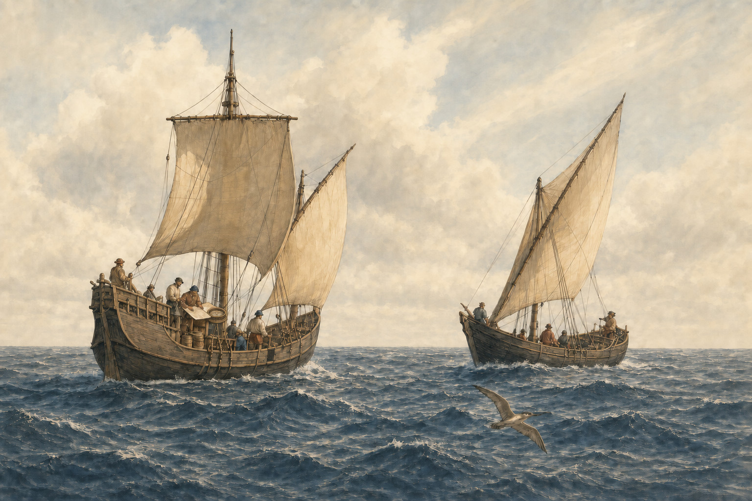
Knowledge of winds, navigational practice, and royal support accumulated during the fifteenth century enabled the crossings of the 1490s.
1492
Columbus's first crossing
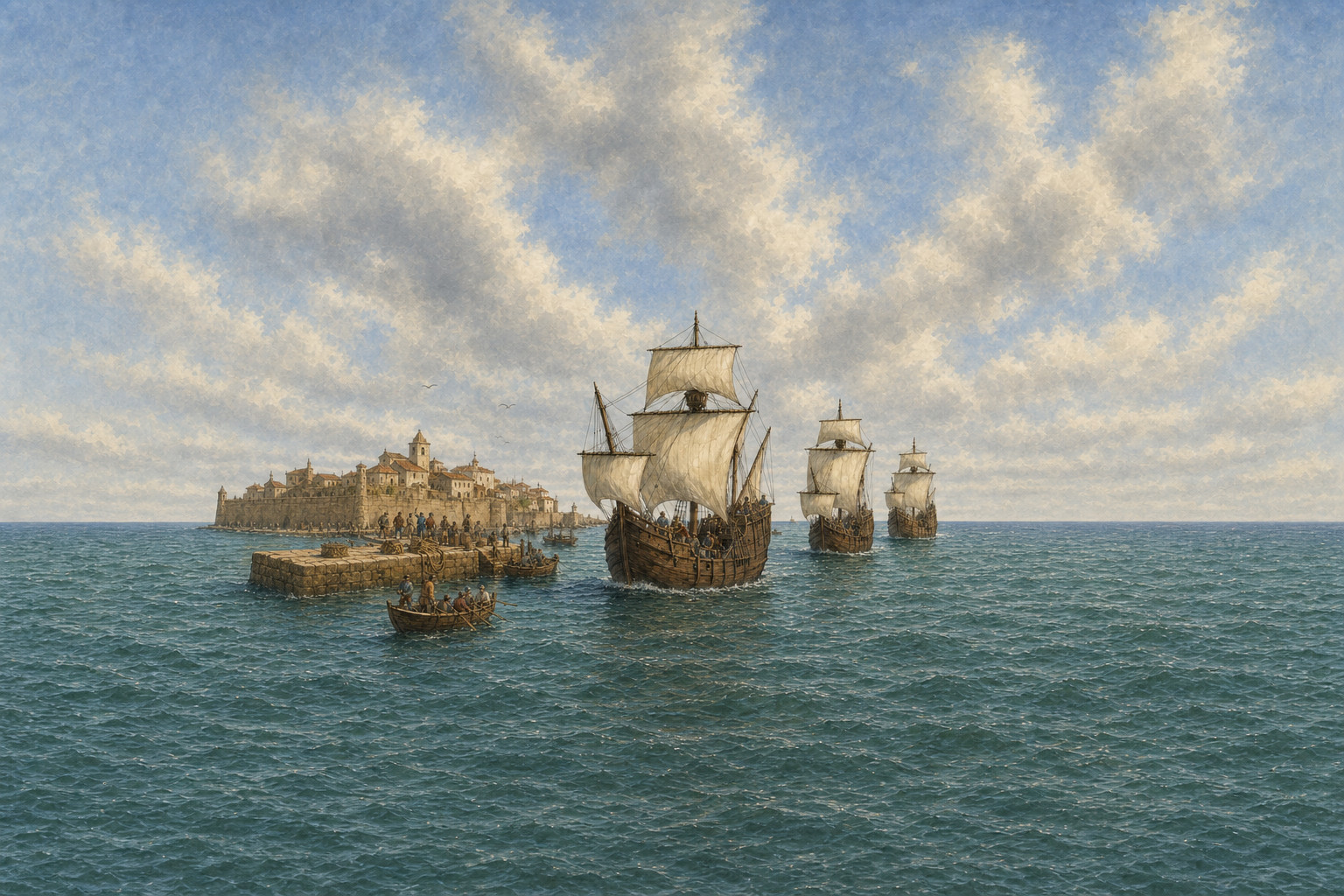
The fleet from Palos reached Guanahani and encountered Taíno people already living in the Caribbean.
1492–1502
Formation of Atlantic routes
Current event
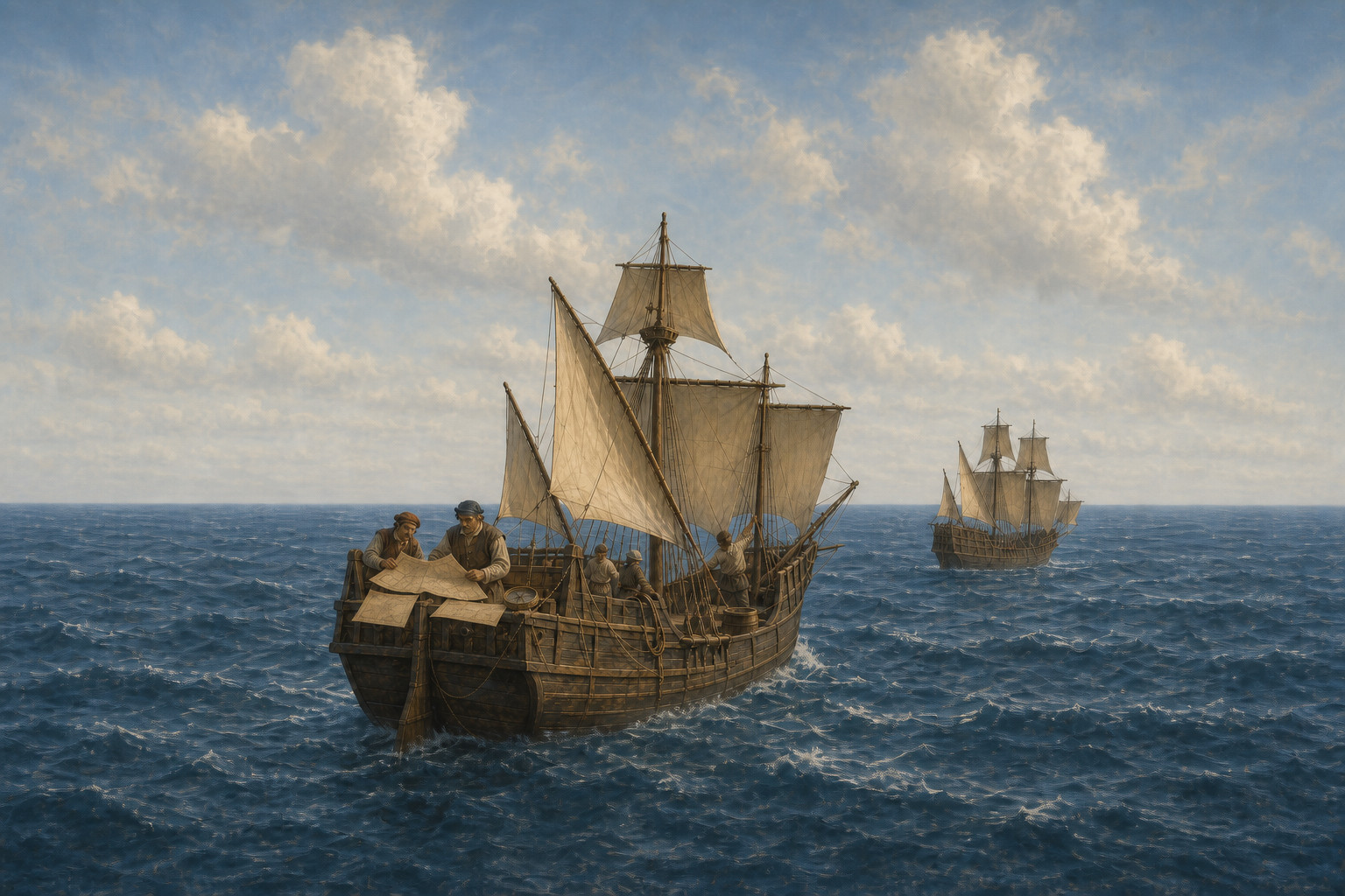
From 1492 to 1502, multiple voyages created repeatable crossings to the Caribbean, North Atlantic, and South American coasts.
1493–1502
Repeated Atlantic crossings
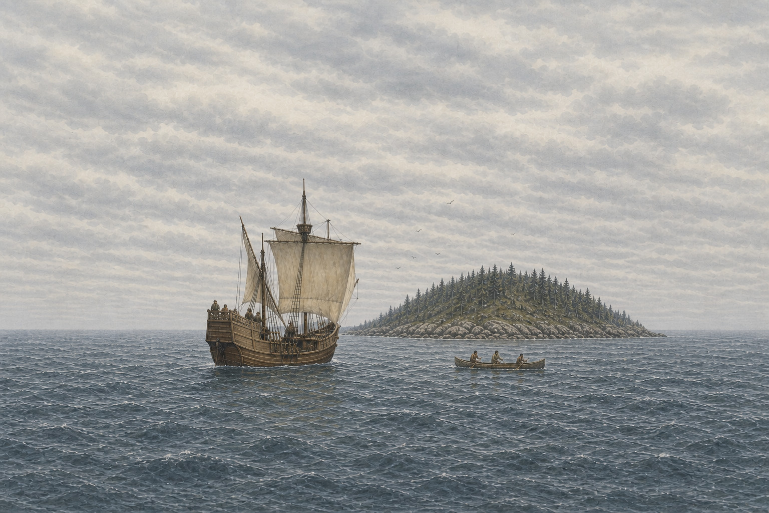
Return reports and follow-up fleets turned one crossing into a continuing sequence of voyages through several Atlantic zones.
1496–1507
Mapping and royal claims
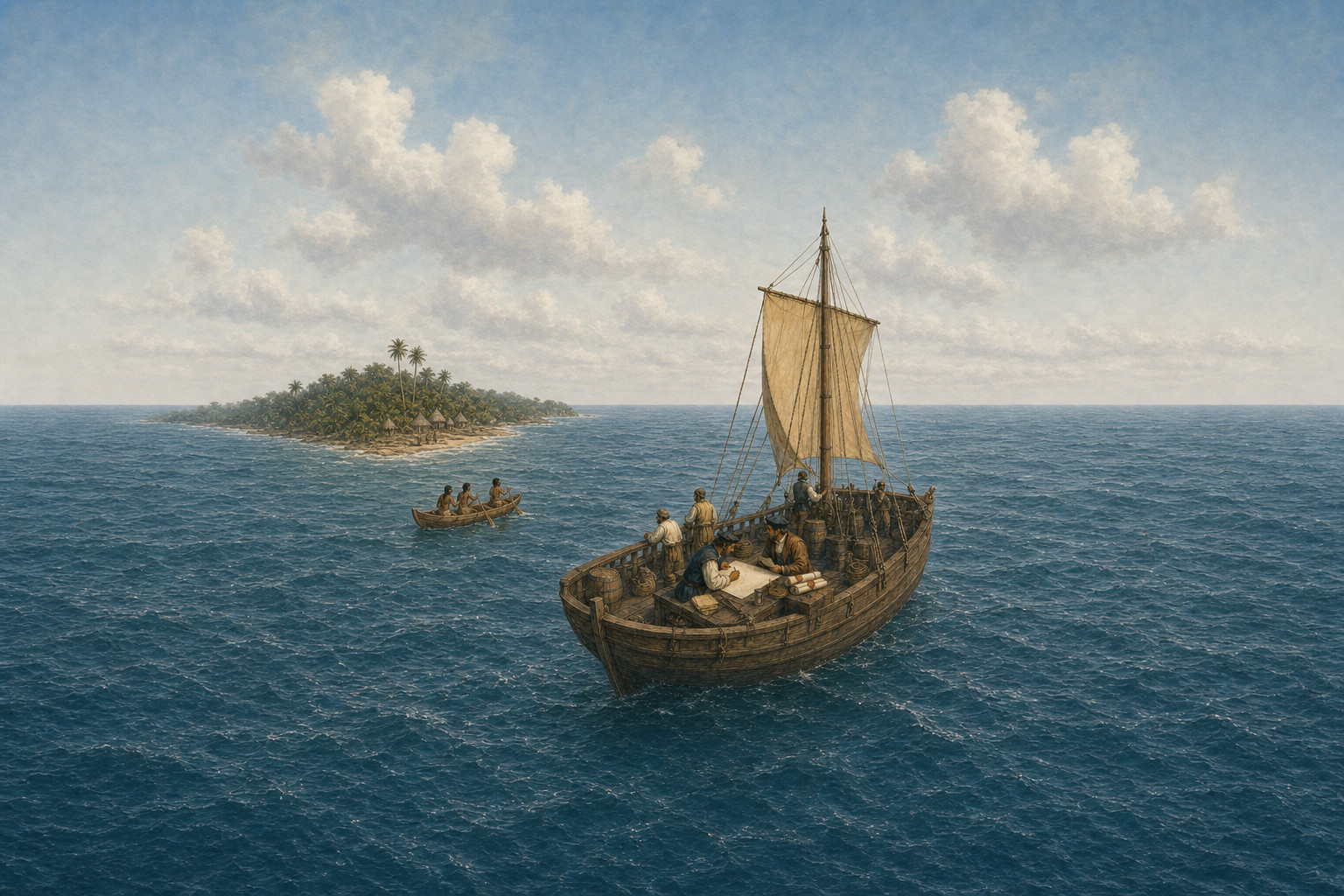
Patents, external claims, and voyage reports entered mapmaking, while the 1507 map registered a change in European understanding of the continents.


Sources
- Columbus and the TaínoLibrary of CongressAn exhibition essay on the 1492 Guanahani landfall, Taíno society, return reports, and Columbus's repeated voyages.
- John CabotThe National Archives (UK)A document-based account of Henry VII's patent and Cabot's 1497 North Atlantic voyage from Bristol.
- Vespucci, Amerigo (1454–1512)Encyclopedia of Latin American History and CultureA reference entry supporting Vespucci's participation in the 1499–1500 voyage along northern South America.
- Recognizing and Naming AmericaLibrary of CongressAn essay on information from the 1501–1502 voyage and the change in European geography registered by the 1507 map.
- Biografia de Pedro Álvares CabralAssembleia da República de PortugalAn official biography describing the thirteen-ship India fleet and its April 1500 arrival on the coast of present-day Brazil.
- Awapó: história e culturas dos povos indígenas no BrasilFundação Nacional dos Povos Indígenas (FUNAI)An official educational source on Indigenous presence long before 1500 and the organized societies that existed at the time.